Henry County Waste Water Feasibility Assessment at Kentucky Lake
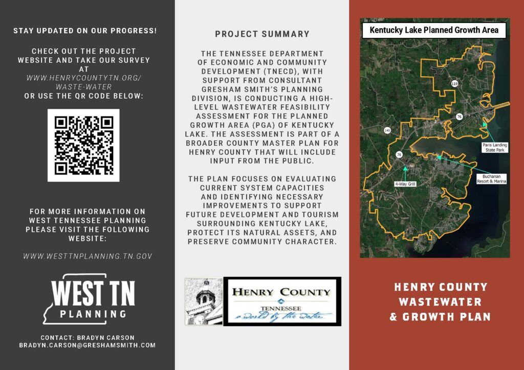
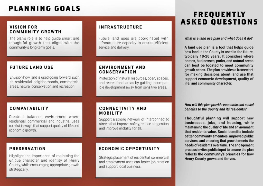
The Tennessee Department of Economic and Community Development (TNECD), with support from consultant Gresham Smith’s Planning Division, is conducting a high-level wastewater feasibility assessment for the Planned Growth Area (PGA) of Kentucky Lake. The assessment is part of a broader County Master Plan for Henry County that will include input from the public. The plan focuses on evaluating current system capacities and identifying necessary improvements to support future development and tourism surrounding Kentucky Lake, protect its natural assets, and preserve community character.
Welcome to the Henry County Master Plan interactive map!
Take a look at Henry County’s future land use options in the two maps below, then click “Add Marker” to show what you like and dislike or to leave a comment. Want to see the map legend? Click the layers icon in the top left corner of the map to toggle layers and view the legend.
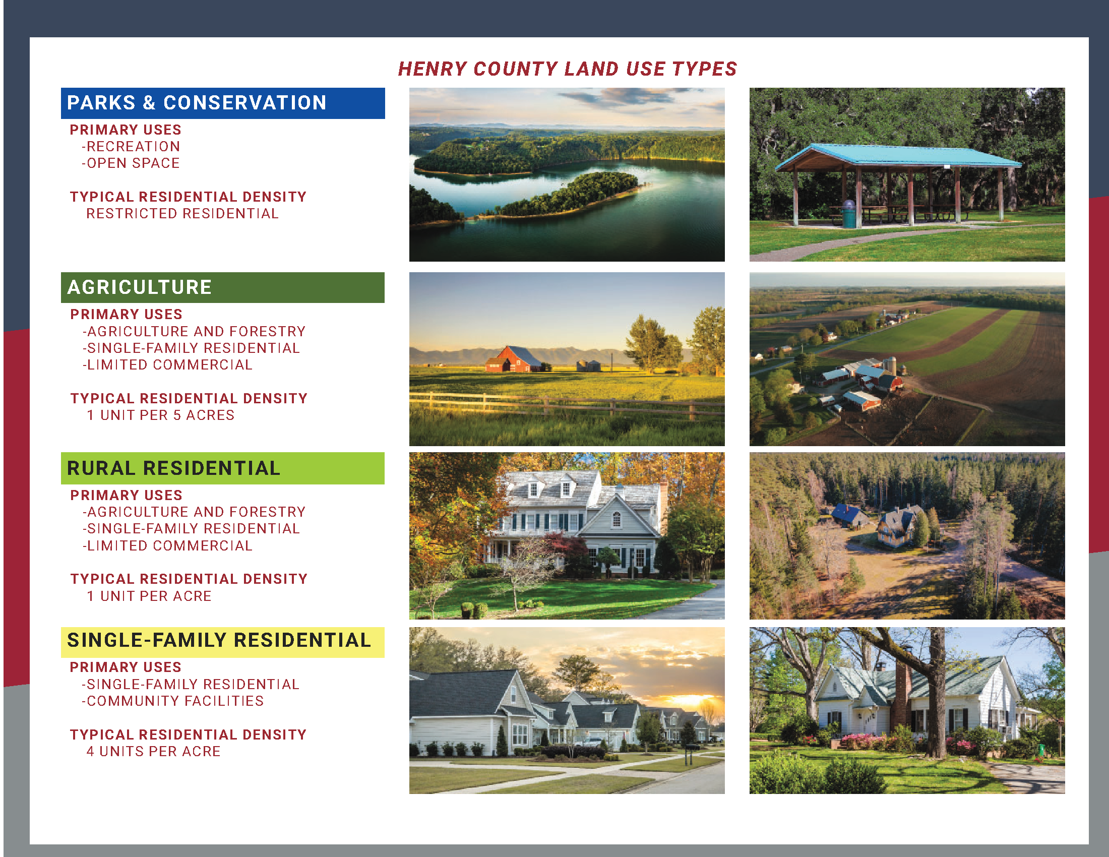
You can also use the Henry County Land Use Types infographic below the maps for help understanding the different future land use types.
Upcoming Event
Come by our table at the Paris Landing State Park Marina during the Kentucky Lake Fun Run on July 18th to provide input on Future Growth options for Henry County and the Kentucky Lake Area!
Or you can provide feedback virtually through our interactive maps below!
All questions and comments related to the project can be sent via email to Ian Preston (ian.preston@greshamsmith.com).